Due to COVID-19 all BC Parks and many other privately owned lakes/parks in the province are currently closed, so finding places to go hiking has become very difficult. This has led to me spending countless hours on AllTrails and Google to try and find new routes in my area to explore. Luckily regional parks in the Lower Mainland and Fraser Valley currently remain open, leading to me coming across Sumas Mountain in Abbotsford, BC. Like most people in BC I knew about Sumas Mountain, but I had never thought about hiking it. There are a handful of different starting points for the hike, which will vary your elevation gain and distance. All of the potential routes will also take you past the beautiful Chadsey Lake on your way to the summit.
We ended up starting off on the West side of the mountain along the Centennial Trail. This is the longest route, which I honestly didn’t know at the time but hey, we got a good workout out of it. In total this option was about 15km and 950m elevation. For a shorter trek, you can start at the Sumas Mountain Lookout off of Lost Lake Road instead. If you choose the longer option, follow along Sumas Mountain Road until it turns into gravel. Not too long after this point the road heads down a steep hill and veers right at the bottom. Once you round the corner find a place to park your car as the trailhead is just up ahead on the right.
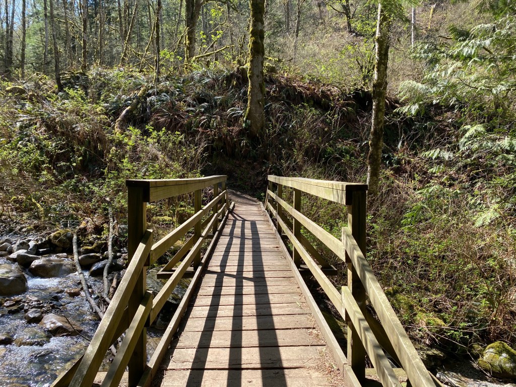
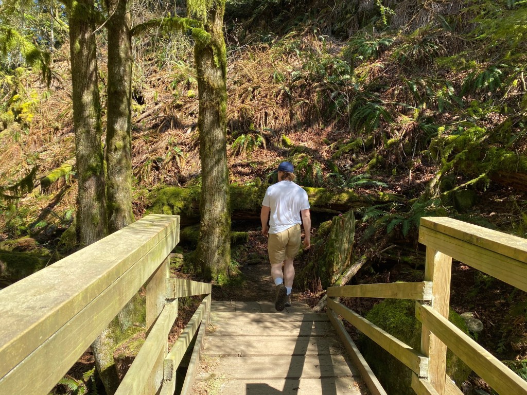
The hike starts off quite gradual, as you weave your way through a lush forested area for about a kilometer. Eventually the trail turns into a series of switchbacks and quickly grows steeper. It is a decent climb uphill and if you have short legs like me you may need to use your hands once and a while. This first section is by far the toughest but it’s nothing unmanageable, we even passed a family with two young children along the way. After about 2.5km or so the trail opens up onto a logging road. From here head right along the road for a short period of time, keeping your eye out for a trail marker on the left hand side indicating the start of the next section of the hike.
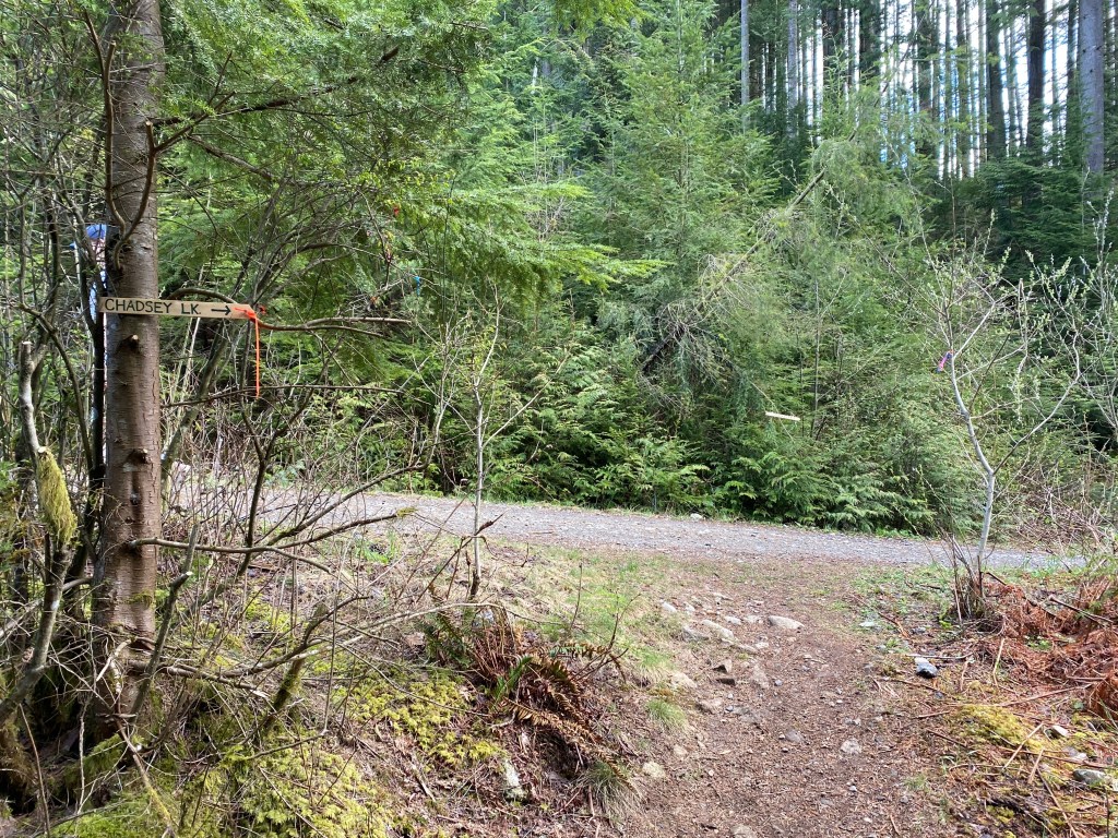
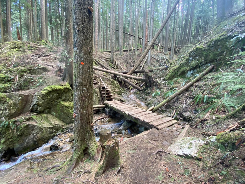
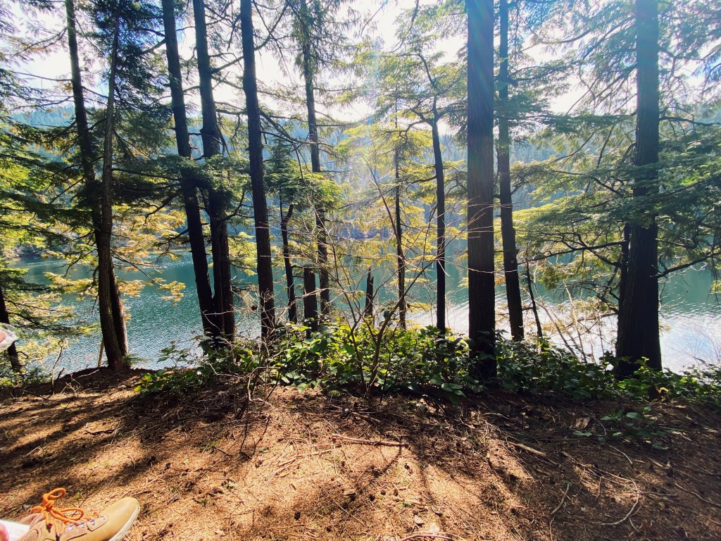
At this point you are about half way to the lake and the elevation gain is much more evenly spread out. Coming off the logging road you make your way through a sparse section of forest along the side of a clearing. There are a lot of fallen trees, however the trail is well maintained and most of them have been cut up so they no longer block the path. After passing through this portion of the trail things get a little but muddy, and you cross a handful of small streams along your way back into the denser forest. Finally, you will come to a junction which meets up with the trail coming up from the Sumas Mountain parking lot. From here continue straight and in about 10 minutes you will reach the lake.
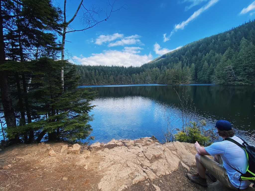
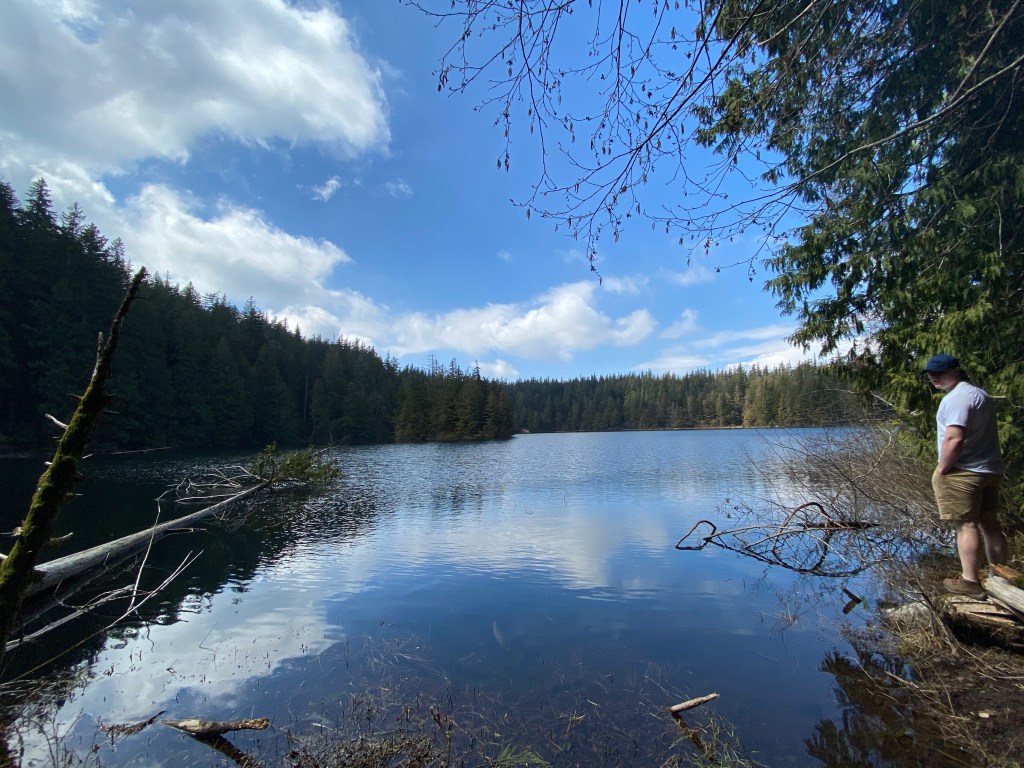
Once you reach Chadsey Lake there are plenty of areas to stop and relax along the water. We ended up deciding to eat our lunches at the lake since we were pretty tired from the climb up. There weren’t very many people at the lake so it was really nice and peaceful. Once we finished eating we continued left along the lake on the way to the summit of Sumas Mountain. From the here, the summit is only about two more kilometers.
We did this hike about two weeks ago (the middle of April) so once we got up past the lake traces of snow began to appear, but there was hardly any on the trial until the very end. As you reach the last stretch of trail you’ll come across what appear to be satellite towers towards your right. Make sure you pay careful attention to the trail markers at this point. The orange markers on the trees actually fork and go in two different directions. You want to make sure to keep left, following the wooden sign post. If you go right it will take you out to a service road beside the towers.
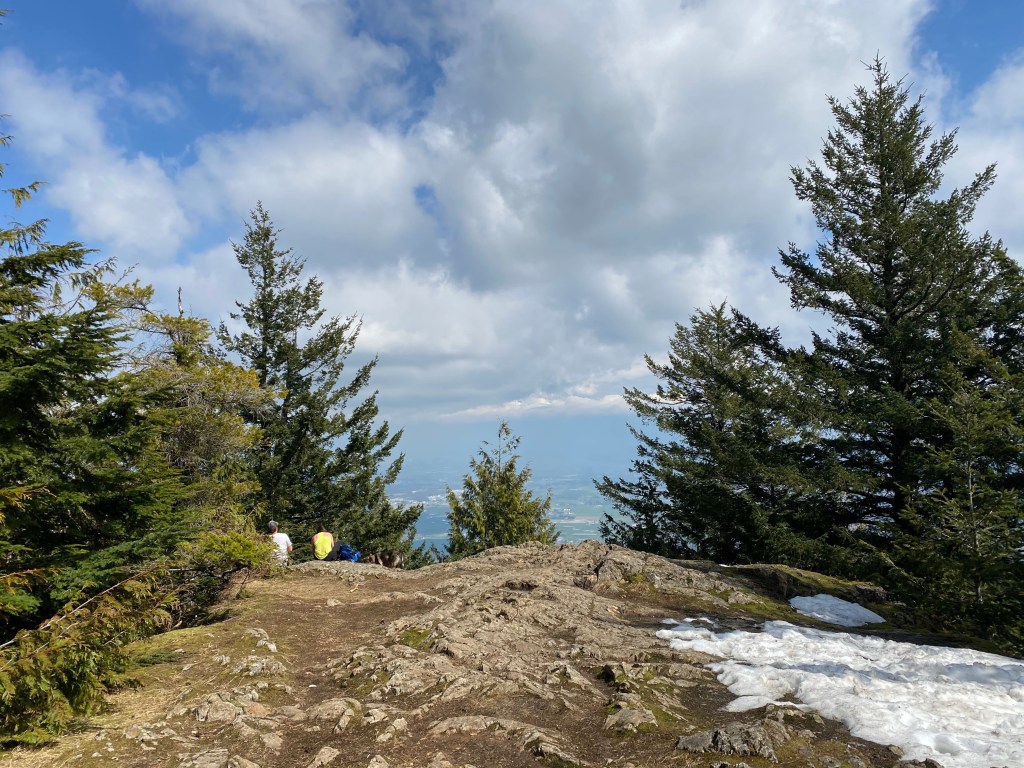
After passing the post it is a quick climb and you will come up onto the viewpoint. Here you get a peek at the Fraser Valley but a lot of the view is obscured by trees. I cannot emphasize this enough but don’t stop here! While it is not marked the trail actually continues towards the left for about 200m and will take you out to a way better lookout (it may be more obvious when there is no snow but it is easy to miss if you do not know any better).
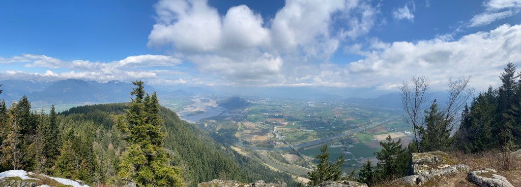
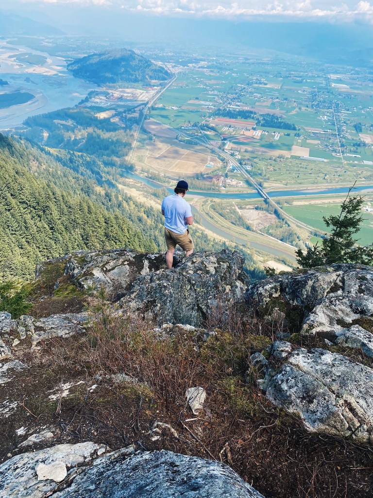
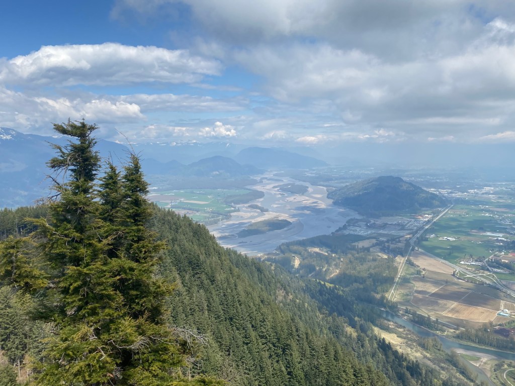
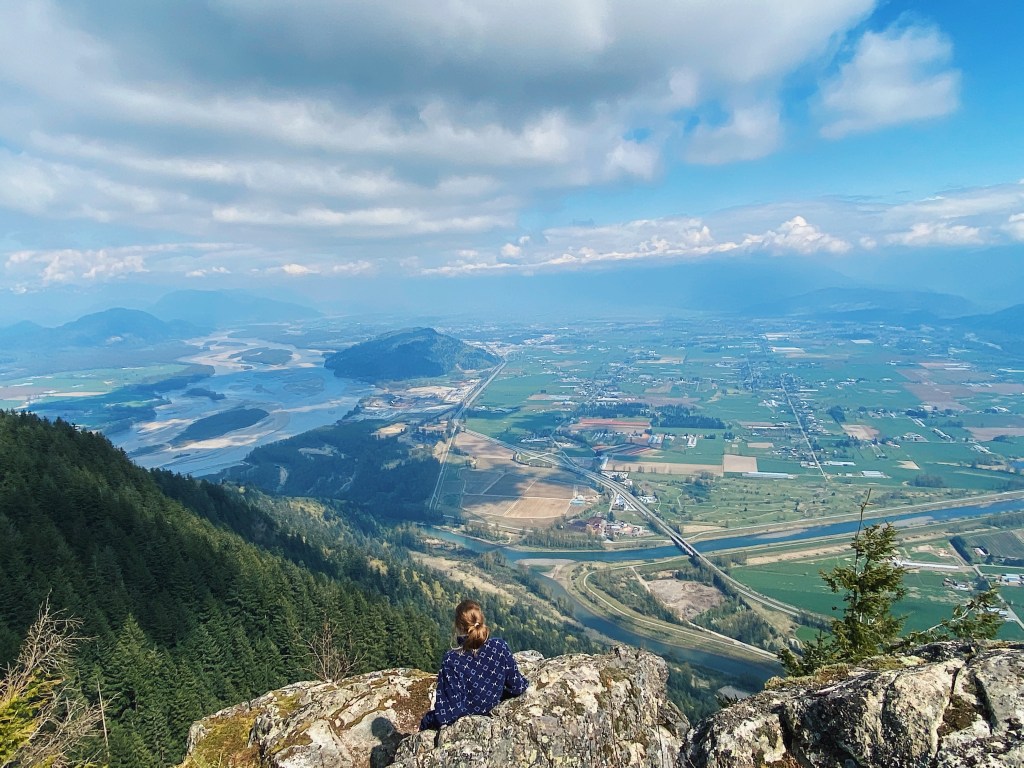
After a quick walk you emerge out onto a patch of jagged rock, facing East over the Fraser Valley. This is definitely where the real views are. I was genuinely blown away when we walked out onto the ridge. In all honestly I’ve always overlooked the Fraser Valley when it comes to hiking but standing there gazing out over Chilliwack and the Fraser River reminded me how beautiful it truly is.
(Also an added benefit is that this hike is lightly trafficked, especially in off-season, making it social-distancing friendly!)
Must Knows:
Distance: 15km round-trip
Elevation: 950m
Accessibility: 2WD accessible, last few kilometers is maintained gravel road
Water Availability: Plenty of stream crossings along the hike
Facilities: No washrooms at lake or summit
